Key Services
-
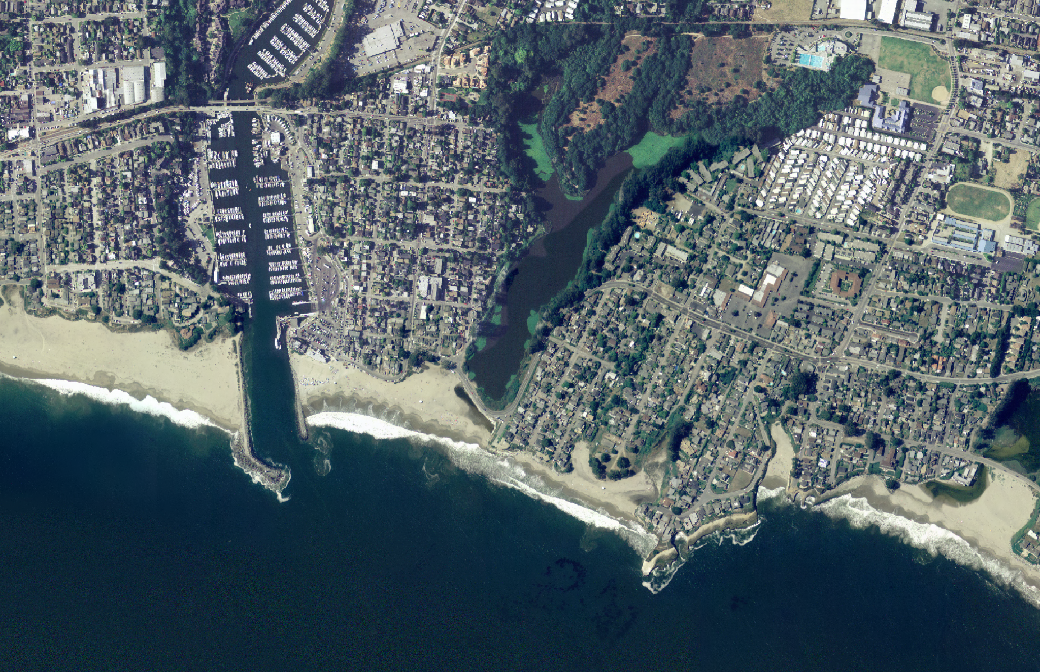
Plover Point provides project-specific evaluation of coastal hazards associated with future sea levels and storm events including flooding, extreme water levels, and other relevant coastal hazards.
Plover Point assessment follow up-to-date guidance from the Ocean Protection Council and the Calfiornia Coastal Commission.
-
Plover Point has expertise in coastal hazard analysis with the Coastal Storm Modeling System including coastal erosion, flooding, wave and current hazards, and inundation.
-
All Plover Point documents are compliant with the California Web Content Accessibility Guidelines
-
Plover Point has extensive experience with Geographic Information Systems (GIS) for geospatial analysis and maps.
-
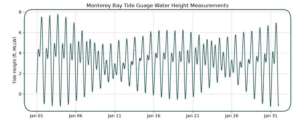
Plover Point is well-versed with analyzing and visualizing a range of oceanographic data from tide gauges, wave buoys, and other common oceanographic instruments.
Have a question about our services? Reach out!
We’re excited to find solutions for your coastal projects.